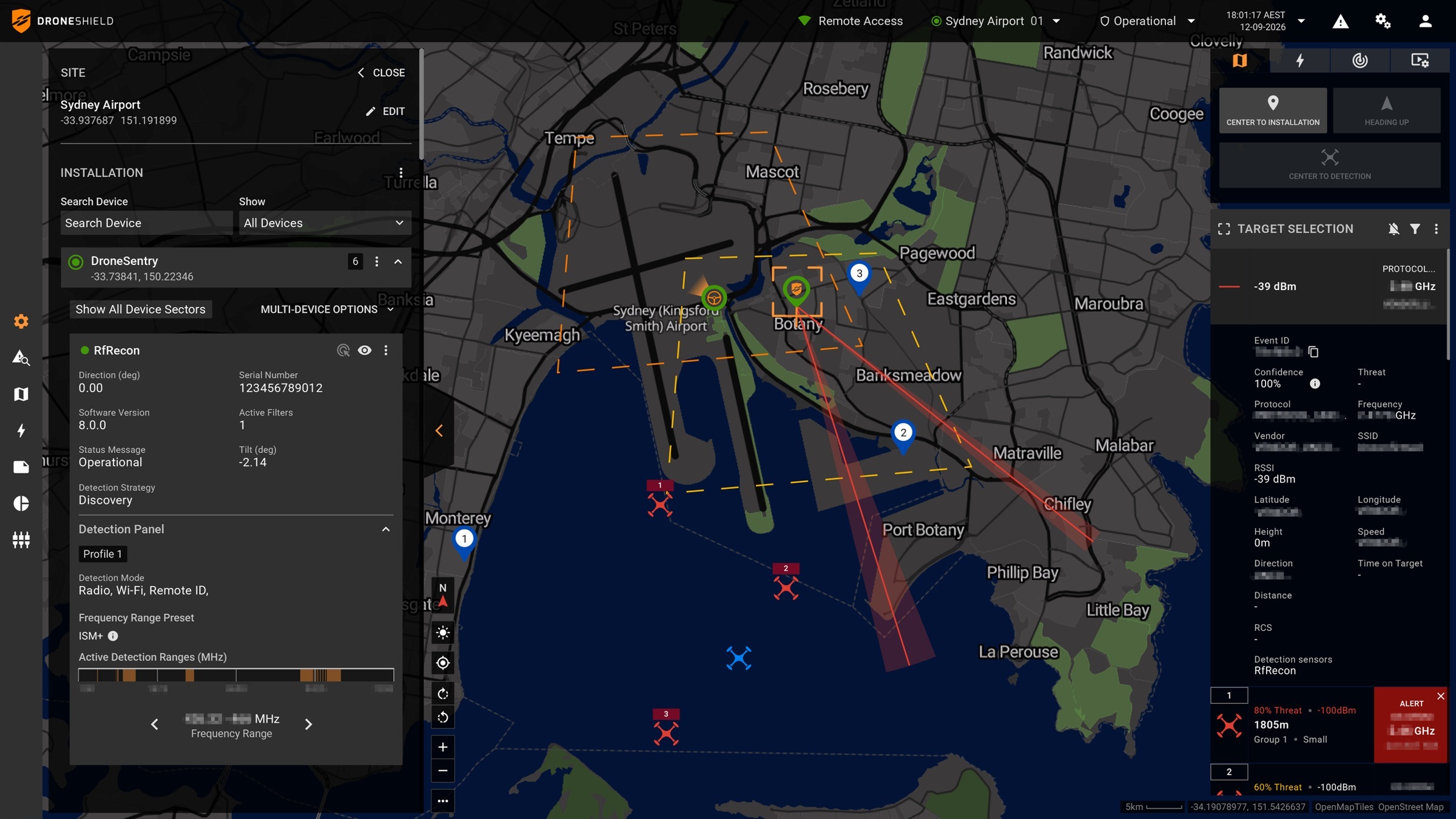
An aerial view can help responders understand a location before they enter it. Whether that view becomes a useful public service depends on which incidents trigger a flight, who interprets the information and how residents can understand the programme's use. A launch announcement is most informative when it defines those boundaries as well as describing the aircraft.
The Orange County Sheriff's Department announced on October 20 that the first phase of its Drone as a First Responder programme would launch during October in Laguna Hills, Lake Forest and Stanton. It describes unarmed aircraft operated by FAA-certified department personnel for authorized public-safety purposes. Assistance in portions of neighbouring contract cities may occur when operationally appropriate. These are the announced initial scope and operating intentions, rather than proof that every part of the county already receives the same service. Read the primary source account.
Dispatch gives the aerial view a purpose
The department describes DFR as reactive and incident-specific. Its public programme page identifies calls for service, critical incidents and missing-person cases, and says the programme is not general surveillance. That distinction puts the deployment decision within a defined response process. It should remain visible when the service is discussed, rather than be replaced by an assumption that aircraft routinely patrol any area within their physical reach.
The proposed contribution is information before or alongside ground attendance. A useful aerial observation could help personnel understand access, hazards or the resources needed. Those possibilities do not mean that every flight arrives first or changes the eventual response. The announcement does not publish a representative distribution of arrival times, cancellations or cases in which the aircraft could not obtain useful information.
People remain central in the department's account. The aircraft supplements deputies, dispatchers and other responders. That is a practical responsibility boundary: a live picture supplies information, while personnel determine what response is appropriate. The programme should therefore be evaluated through the complete chain from the qualifying call to the receiving team's decision, rather than through launch speed alone.
The first phase is a distinct geographic commitment
Naming three initial cities allows residents to distinguish an operating phase from a wider ambition. The department identifies later expansion as its broader vision, without presenting a funded countywide deployment schedule in the release. Assistance to a nearby incident is also different from promising identical routine coverage throughout neighbouring communities. Those distinctions matter to anyone assessing what service is actually available.
Operational geography can differ from the area an aircraft can theoretically reach. Staffing, incident demand and the conditions of an individual mission all influence whether an aerial response is useful. This article does not infer undisclosed range limits or flight authorizations from the announcement. The public account supplies the initial service areas, not every technical condition governing each possible flight.
Transparency needs a usable connection to actual flights
The programme page links a transparency dashboard and a published UAV policy. It also identifies specialized training, incident-specific deployment and community access to information as safeguards. Providing these access points is a concrete part of the public launch. It is not by itself an audit of every flight, a finding about residents' experience or proof that all future reporting will be complete.
For meaningful ongoing assessment, a resident needs to connect the stated purpose to a comprehensible record of use. A flight count alone would not show whether the service supported a missing-person search, documented an incident or was unavailable when requested. The appropriate level of detail must also avoid disclosing sensitive incident information. That is an accountability design question arising from the programme, not a claim that the department has published private material.
Video has more than one possible role. Live situational awareness supports a decision while an incident unfolds; retained material can support later documentation or investigation. The release acknowledges both uses, but does not establish that they share identical access or handling requirements in every circumstance. Keeping the distinction explicit helps readers understand why an aircraft's usefulness cannot be assessed solely from whether it records a clear image.
Evaluation should preserve unsuccessful opportunities too
A useful first-phase assessment would record the qualifying demand, completed flights and reasons an aircraft did not assist. It could then connect useful observations to the decisions they supported. Reporting only selected successful calls would leave the frequency and operating limits unclear. These are proposed evaluation questions; no independent review or complete programme result is asserted here.
The immediate development is a defined initial launch and public information route. The longer-term possibility is dependable aerial support that improves what responders know while retaining an understandable deployment boundary. Evidence from the first phase should determine how strongly that case can be made. Future expansion would be more persuasive when accompanied by comparable operational and accountability records, rather than inferred from the launch itself.
Source organizations: Orange County Sheriff’s Department.
Official programme page, public policy and transparency dashboard access.
Questions, news tips or corrections? Contact [email protected].