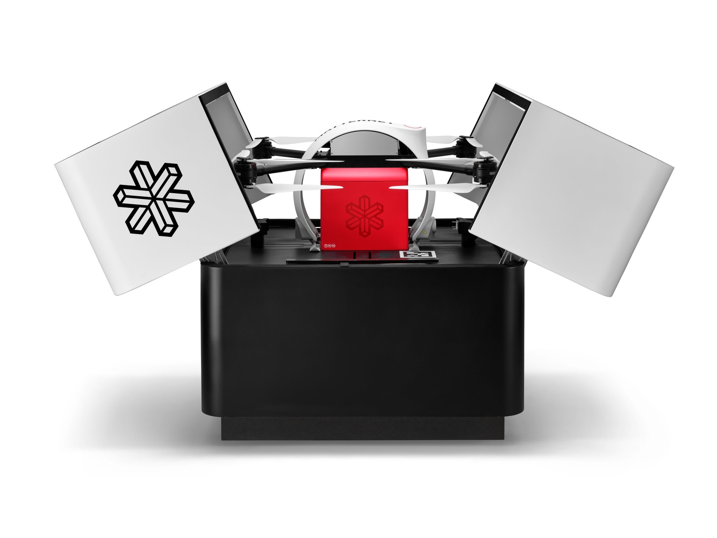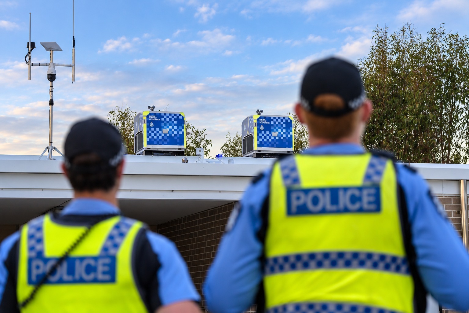
The value of an early aerial view depends on whether it reaches the person making the next decision. A drone arriving before a ground team can still add little if its location, observations or limitations are unclear. Police first-response programs therefore need an operating pathway as well as an aircraft: a reason to deploy, a responsible pilot and a way for the relevant officers to interpret what the camera shows.
Western Australia Police Force’s October 26 announcement says its Drone as First Responder capability was embedded in frontline duties on October 25. It connects the RPAS Operations Unit and State Operations Command Centre through Computer Aided Dispatch jobs, with live footage supplied through VGrid. Initial areas include Baldivis, Rockingham and Kwinana. The official account describes a staged operational capability, while anticipated improvements in response and safety remain claims to evaluate. Read the primary source account.
The dispatch rule defines the service
The department says aircraft respond to dispatched tasks rather than random patrols or general surveillance. That is a consequential boundary, because a fixed or mobile launch point does not itself explain why a particular flight occurs. The public can assess the program more meaningfully when the connection between an incident and an aerial response remains visible in the operating record.
The policy page also states that human decision-making remains central. Remote launch does not mean a system independently decides when to intervene. A responsible account should preserve the roles of the pilot, command centre and ground officers instead of allowing the word autonomous to flatten them into one automated action. The announcement concerns a remotely piloted response arrangement, with technical assistance supporting people’s decisions.
A shared feed needs a shared understanding
VGrid provides the named route through which footage reaches the operating team. The usefulness of that feed depends on context as well as clarity. A ground officer needs to know which location and time the image represents and which uncertainty remains. A visible object can guide another look without establishing its intent or every detail relevant to the incident.
The department gives an example of using thermal imagery to support a search in dense bushland. That illustrates an intended application, rather than a measured outcome of every search. A program evaluation should retain the actual conditions and whether the observation affected the response. Otherwise, a plausible example can acquire the appearance of a demonstrated service-wide benefit without the evidence needed to support it.
A staged rollout can produce useful comparisons
Introducing the capability in selected areas offers a chance to learn before expanding. The relevant record would distinguish deployments attempted, information delivered and decisions informed. It should also include occasions when weather, availability or another constraint made a different response appropriate. Those cases help define the service’s operating boundary and are not merely exceptions to be removed from a performance narrative.
Privacy and information assurance also form part of the official account. The policy page describes a broader assurance approach covering aviation safety, lawful and proportionate use, cybersecurity, readiness and transparency. Naming those workstreams is useful, while it does not establish the appropriateness of every individual flight. Subsequent public reporting should connect the stated boundaries to the way the capability is actually used.
A useful response-time measure would distinguish the moment a task is identified, the decision to launch, arrival of the aircraft and the point at which relevant information reaches the officer. Different programs can use the same phrase while timing different intervals. Keeping those checkpoints makes a comparison interpretable and helps identify where a delay occurs. It also prevents the earliest available aerial image from being counted as useful intelligence before someone has received and understood it. The current announcement gives the operating pathway, while that fuller timing evidence remains a question for later reporting.
For frontline teams, the near-term change is a coordinated route for obtaining and sharing an aerial view during selected calls. The wider possibility is a more informed response before an officer reaches an uncertain scene. That prospect depends on timely, interpretable information and clear accountability, rather than the presence of a docking station alone. The next useful evidence is an operating record that connects dispatch, observation and outcome while preserving the cases in which the drone added little or could not be used.
Source organizations: Western Australia Police Force.
WA Police official operating and assurance account.
Questions, news tips or corrections? Contact [email protected].