A drone can reach an incident before a person and still leave the response team with an incomplete account. The live view, dispatch decision, ground action and retained evidence have to remain connected. That is why drone-as-first-responder systems are becoming an operating-platform question as well as an aircraft question.
Main contribution
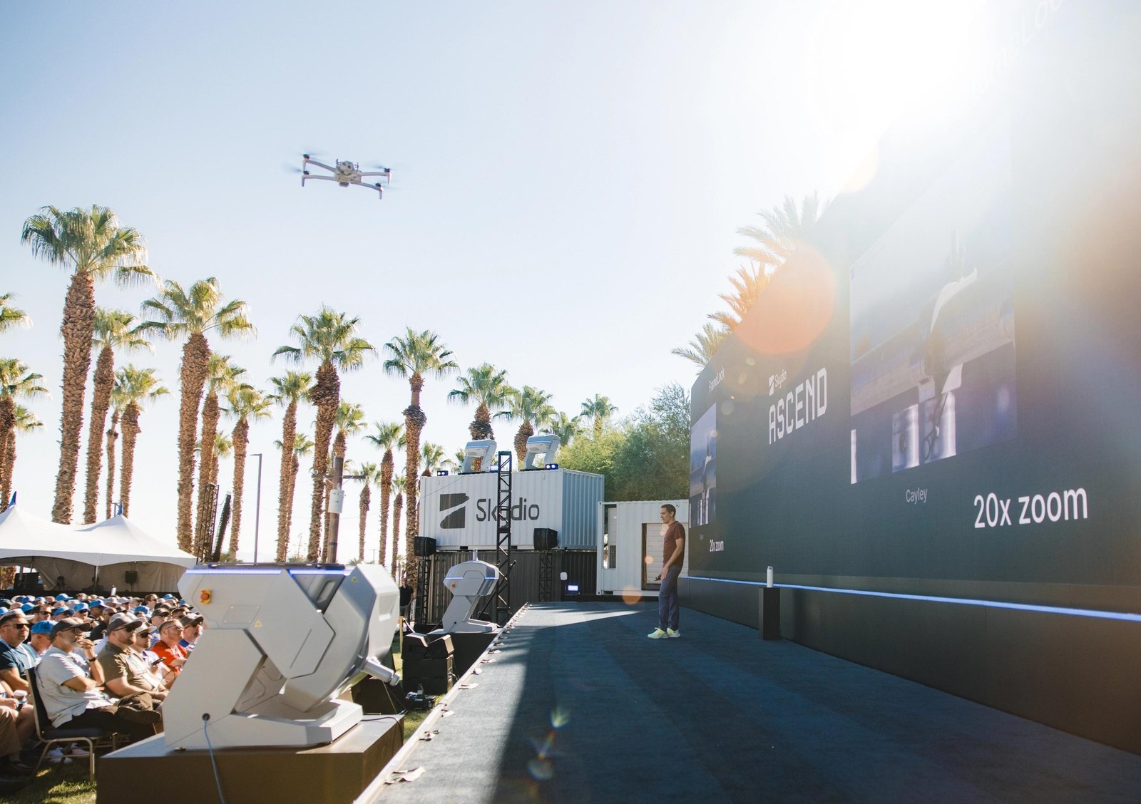
The principal contribution is integration of the physical drone mission with dispatch, shared live awareness and retained evidence. Axon’s current Air materials describe a DFR service connected to Skydio aircraft and Axon systems, including evidence management. Skydio’s patrol-led demonstration shows an officer placing an X10 ready for launch and handing flight control to a remote pilot. That is supervised physical autonomy: the aircraft’s flight assistance supports a person responding on the ground while another person manages the mission. The main advance is a joined workflow rather than an independent machine deciding how to police a scene. The film below contains manufacturer-selected agency footage. It illustrates shared aerial awareness without establishing a typical benefit across all deployments.
Watch the system in action
Skydio film with agency response footage and shared mobile awareness. Manufacturer-selected cases illustrate the response workflow rather than proving an average benefit for every agency. View the source ↗
The aircraft is entering an existing response chain
The 2024 integration description connects Skydio and DroneSense capabilities with Fusus for shared live awareness. It is background on the architecture, not a claim that those capabilities were newly introduced this October. The distinctive issue is how a drone mission remains attached to the incident that justified it.
The first image can change what responders expect
Consider a hypothetical alarm where the drone sees no activity at the entrance. The absence may reflect a resolved incident, a blocked view or activity elsewhere. A useful dispatch record preserves what the camera actually covered and when. It should not translate “nothing visible” into “site safe” without additional evidence.
Ground responders may later correct the interpretation. Their observation needs to stay connected to the earlier aerial view and decision. A common incident identifier can help, but it does not ensure that every system uses the same clock, retention rules or access boundaries. Those joins need to be tested.
A mission count is not a service outcome
The operating comparison should include eligible calls, completed missions, decisions changed by footage and delays caused by unavailable aircraft or communications. It should also identify cases in which the drone reduced uncertainty without reducing the need for ground attendance. Both can be useful results.
A smaller jurisdiction may gain little from a complex connected platform if missions are rare or the main constraint is permission to operate. Technology does not supply that authorization. The service should be assessed against the agency’s actual incidents and existing response method.
Autonomous flight is one function within the response
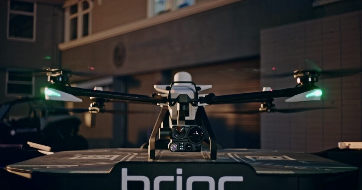
The physical platform is a drone carrying a camera, supported by the systems that launch, task and share its observations. Some flight and routine mission functions can be automated, while the agency remains responsible for deciding which incident warrants the mission and what the footage justifies. Axon's cited investor updates describe integration and business direction; they do not establish one uniform autonomy level or permission model for every participating aircraft and agency.
The distinction is useful to a reader seeing a rapid-arrival demonstration. A drone can travel to an assigned area while a person controls which scene the camera examines or decides what ground responders should do. Autonomous navigation, remote piloting and automated video interpretation are different functions. An operational account should identify which was used rather than let the word autonomous cover the entire flight and response.
An illustrative test could follow an incident whose reported entrance is not visible from the first aerial position. The team should record what the camera observed, how the mission was adjusted and whether the additional view changed dispatch. If no useful view could be obtained, that result should remain part of the case. It is more informative than excluding the mission from a successful-arrival count.
The aircraft's availability is part of the physical service. The agency needs a response method for incidents that cannot receive an aerial observation because equipment, communications or operating conditions are unsuitable. These are proposed trial categories, not failures claimed for a particular vendor aircraft. Their purpose is to make the DFR benefit comparable with the agency's actual workflow, including calls for which ordinary ground response remains the appropriate first step.
The strongest outcome is not the disappearance of people from the incident. It is a better-informed decision by the people who retain responsibility, supported by a retrievable record of what the drone actually saw. That record can show both positive observations and the limits of an apparently empty view. A connected platform earns its complexity when it preserves those distinctions through the dispatch system, ground response and subsequent review.
The wider impact
The wider impact is a response system that can carry an understandable account from first aerial observation through final disposition. If that continuity holds, drones become a dependable resource within public safety. If it breaks, more autonomous flights may create more footage while leaving the hard coordination work unchanged.
Deployment across sectors
Municipal public safety is the directly documented setting. The same response-chain question is relevant to campus police and large venues: who requests a flight, who receives the image and who owns the retained record? Skydio describes campus DFR workflows, but a campus programme still requires its own permissions and operating policies. Search and rescue involves different evidence and staffing needs from investigating an offence. Industrial emergency teams may value earlier visual information without sharing a police deployment model. These applications should be evaluated in their own institutional setting. A drone reaching a scene sooner only has value if its information is timely, understandable and connected to an authorized responder.
How it could change the world
A well-integrated response drone could reduce the time that responders act with an incomplete picture, while preserving an accountable record of the decisions made. That may change the economics of early aerial awareness for communities that cannot maintain a conventional aircraft service. The improvement is conditional: information must be useful, access must be controlled and an incident must remain traceable after the live view ends. A shared response platform should make human judgment easier to review rather than bury it beneath automatic launches and exports. The world-changing possibility is earlier, better-informed assistance with a stronger account of what happened, not an aircraft that assumes an independent right to intervene.
References
Questions, news tips or corrections? Contact [email protected].