

A fence tells people where a protected site begins. Airspace needs a different kind of boundary, and that boundary cannot physically stop a drone. The FAA’s critical-infrastructure proposal matters because it could make permitted and prohibited activity clearer. Security autonomy still has to turn that information into an observation, a decision and a lawful response.
The proposed process defines a space
The May 2026 FAA announcement describes a proposed process through which eligible site operators could request restrictions for safety or security. The fact sheet describes lateral and vertical boundaries and expressly distinguishes a restriction from a physical or electronic barrier. This remains analysis of the proposal, not a declaration that a particular facility already has a restriction.
The practical value is shared understanding. A lawful operator can plan around a defined area; a site team can explain why an observed flight requires attention. But an unidentified aircraft does not become harmless because compliant pilots know the boundary.
Classification must precede escalation
Imagine a hypothetical inspection drone near a power facility. The security system may detect an aircraft while the maintenance team knows it is authorized. If those records do not connect, automation can treat expected activity as an incursion. Conversely, a detection outside the mapped boundary may still matter because of its behavior or proximity.
A useful workflow retains the observed location, confidence, authorization context and time. It should distinguish a possible boundary breach from a confirmed one. That distinction is particularly important when several sensors disagree or the estimated position is close to the limit.
A boundary does not confer authority to stop an aircraft
The organization still needs an authorized response arrangement. A site restriction, an aviation operating permission and permission to use a particular counter-drone method are different things. Procurement should not treat them as one package merely because a vendor offers detection and mitigation together.
The strongest countercase is that a well-managed facility already has effective coordination with aviation and law-enforcement partners. A new process may clarify the map without transforming protection. The useful result would be fewer ambiguous authorized flights and a faster, better-documented response to genuinely unauthorized activity.
The tower and responder have different responsibilities
Consider an illustrative facility comparing a radar track with a restricted area on a control-room map. The estimated location may span both sides of the boundary. A fixed camera can supply another view, but trees or distance can make it inconclusive. The system should present that uncertainty rather than classify the drone as definitely inside because its map symbol overlaps the line. A legal boundary is precise in the operating plan; the sensor measurement may be less precise.
Authorized activity is another input. A maintenance contractor’s inspection drone can resemble a prohibited flight while following an agreed task. Linking expected-flight records to observed tracks may reduce unnecessary escalation, but an entry on that list does not prove that every detected aircraft belongs to the contractor. The operator needs to reconcile time, location and the available identification evidence. This is a proposed acceptance scenario, not a demonstrated result from the FAA proposal.
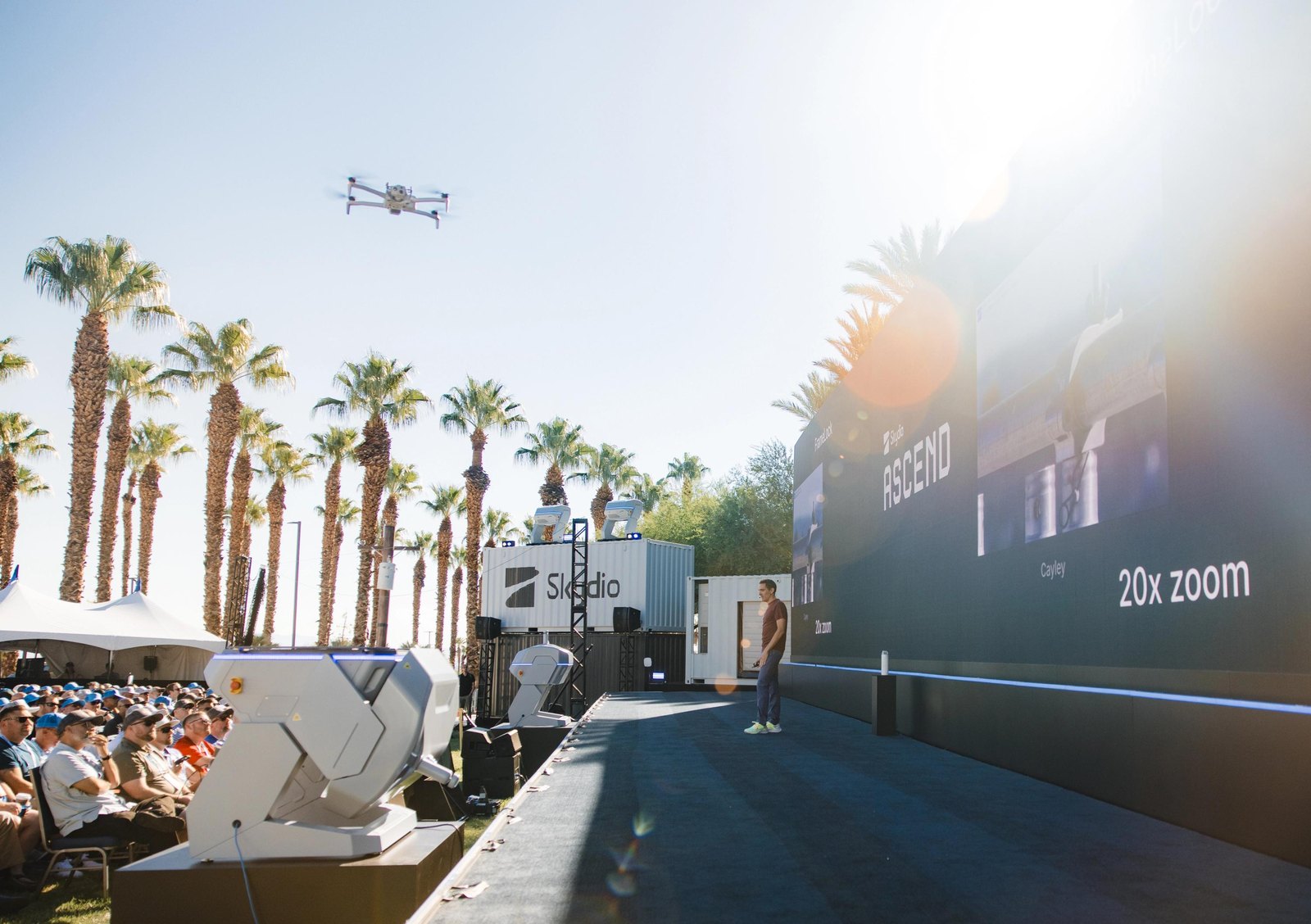
A mobile scout tower can increase observation coverage around a facility without acquiring the authority to stop an aircraft. Its camera may track, its analytics may classify a candidate and its communications may notify another organization. The purchaser should specify which functions are automatic and what evidence reaches the authorized responder. The distinction prevents a supplier’s combined detection-and-response presentation from being interpreted as a single permission granted by an airspace restriction.
Testing should include an uncertain track near the boundary, conflicting sensor observations and an authorized flight missing from the expected-flight record. It should also include a responder who is temporarily unavailable. Those cases show whether the site can maintain a coherent picture and preserve evidence without silently escalating to a method it is not empowered to use. Speed matters, but the useful speed is the time to a supported, lawful response.
The commercial opportunity is therefore broader than selling a detector. Mapping, flight coordination, evidence packaging and support can make a protected site easier to operate alongside legitimate drone services. Their value depends on reducing ambiguity in actual encounters. A new regulatory route can improve that coordination while leaving substantial technical and organizational work at the facility. Buyers should assess that work explicitly rather than assume that receiving a restriction makes every nearby observation conclusive.
The wider impact
The wider impact could be clearer coexistence between expanding drone services and protected infrastructure. That is valuable even though a legal map is not a shield. Autonomous protection will depend on connecting that map to accurate observations and people who know what action they are actually empowered to take.
Questions, news tips or corrections? Contact [email protected].